
Hawaiʻi Neighbor Records at Block Scale
Start a block search with parcel boundaries, then use each TMK to reach county or state records. These sources show adjacent land, tax ownership, recorded transfers, permit events, or civic contacts; they do not list all Hawaiʻi neighbors. Match each question to a source and note its access limit.
| Hawaiʻi Source | Block Clue It Provides | How to Reach It |
|---|---|---|
| County GIS parcel layer | Touching shapes, TMKs, and selected land-use layers | Public map or service; not a survey |
| County assessor | Tax owner and parcel fields where shown | Portal, office, or county records process |
| State Bureau of Conveyances | Recorded interests tied to TMK or legal description | Account search, paid image, counter, or older-record request |
| Permit and code files | Project, address/TMK, and status | Status page; full file by office or UIPA request |
| Election records | Public name, district/precinct, and status only | Self-check, phone, or paper form under limited rules |
| Neighborhood and community contacts | Board boundaries, meetings, agendas, and organization contacts | Civic pages and voluntary directories; ask each group |
An owner or taxpayer is tied to a parcel, not necessarily its occupants; a permit may name a contractor. Civic boards share public contacts and proceedings, not private membership lists. Each source is one window onto the block, not a census of people nearby.
Map Hawaiʻi Neighbors from One Address to Adjacent Parcels
Find touching parcels by moving outward from the address polygon, not by assuming nearby homes share a boundary. Keep each TMK, then hand it to the assessor or land-record custodian; a GIS popup may not show ownership.
- Locate the address and identify its parcel polygon in the county map.
- Record its TMK, then select touching polygons and note each parcel’s TMK.
- Check each TMK in the county assessor and record the owner fields shown.
- Use the Bureau of Conveyances to confirm a recorded land interest.
- Review road, shoreline, zoning, and common-element layers before describing the block.
This method follows adjacent parcels, not every address on a road. For a whole street chain, use the Hawaiʻi street directory walkthrough.
A Hawaiʻi Parcel Map Shows Touching Lots, Not Title
Use the parcel polygon, not a radius, to define the block: a radius may cross a road, shoreline, or common element. This GIS tip for Hawaiʻi is simple: map geometry finds the TMK; the assessor or deed custodian answers ownership questions.
Kauaʻi’s parcel service shows TMK, parcel text, acreage, alternate IDs, and an owner link, but says boundaries are illustrative; some CPR units are unmapped. Hawaiʻi County’s public parcel layer has shape and TMK but no ownership. Honolulu maps add flood, zoning, SMA, and warning layers. Fields vary by island.
Check the legend and distinguish condominium units, empty lots, roads, and shorelines. County GIS layers guide planning; they are not legal surveys. Do not presume an unbuilt parcel or parent condominium lot contains a household.
County Tax Records Help Label Hawaiʻi Neighbors by Parcel
After GIS supplies the TMK, use the matching county tax portal. Honolulu qPublic accepts address, owner, and TMK searches; its link is in the directory panel. Maui Property Tax lists address, parcel/TMK, owner, map, and sales modes; Maui County includes Maui, Molokaʻi, and Lānaʻi. Hawaiʻi County’s real-property page is its official entry, though live fields were not confirmed. Kauaʻi directs users to TMK/parcel keys, so do not assume equal search modes statewide.
Assessment results may show site and mailing addresses, owner or taxpayer, value, property class, exemption, lot size, and building details. A mailing address may be a manager, PO box, another island, or another state; it shows where tax notices go, not who lives on site. A home exemption is a tax classification, not proof that all occupants are household members.
Keep the island beside each result. Maui County serves Maui, Molokaʻi, and Lānaʻi, while Kauaʻi County also includes Niʻihau. A postal city alone may send a reader to the wrong parcel map or office. If an address search fails, try the county’s TMK and map route before concluding that the parcel is absent.
Hawaiʻi BOC Records Confirm Ownership, Not Adjacency
The Hawaiʻi Bureau of Conveyances (BOC) is the statewide land-record office. Its index connects a selected parcel to deeds, mortgages, liens, plats, and condominium instruments. Use the TMK or legal description to confirm an instrument concerns the adjacent lot; the GIS polygon answers whether that lot touches the target parcel.
The BOC search is free after registration; images and subscriptions cost money. Search by party, document number, TMK, or legal fields. Older items, including pre-1976 documents, may need a written request or in-person research. Those are fallback routes when an image is missing.
A recorded instrument proves a land interest, not who occupies the parcel. Use the TMK or instrument number instead of broad name searching; the full deed chain belongs to the street-level workflow.
A Hawaiʻi Voter Lookup Does Not Give a Block Roster
This Hawaiʻi records myth needs a clear answer: an online voter lookup is not a public block address list. The Office of Elections Online Voter Registration lets a voter register, update, or confirm their status using a Hawaiʻi Driver License or State ID and the last four Social Security number digits. Others may use paper forms or phone verification through the county; staff ask for name, residence address, and birth date.
Under HRS §11-97, full name, district or precinct, and status are public; other affidavit information is confidential except for election and government purposes. Hawaiʻi does not collect party affiliation. Qualifying voters may request address or telephone confidentiality under HRS §11-14.5.
The roll is a limited civic record, not a list of every Hawaiʻi neighbor. Contact a county elections division with process questions; public fields remain limited by law.
Oʻahu’s 33 Neighborhood Boards Add Civic Context
Oʻahu’s Neighborhood Commission Office describes 33 boards with schedules, agendas, minutes, board-member contacts, boundaries, and street-index tools. Areas include Downtown-Chinatown, Kalihi-Palama, Pearl City, Waiʻanae Coast, Kailua, Kāneʻohe, Waikīkī, Ewa, Kapolei-Makakilo, and Mililani. The board map routes civic questions; it is not a resident directory.
Check current boundaries and meeting details before contacting a board. Other Hawaiʻi counties use their own community processes; Oʻahu’s 33 boards do not cover Maui, Kauaʻi, or Hawaiʻi Island.
See the Oʻahu Neighborhood Commission Office page for its board structure and public resources.
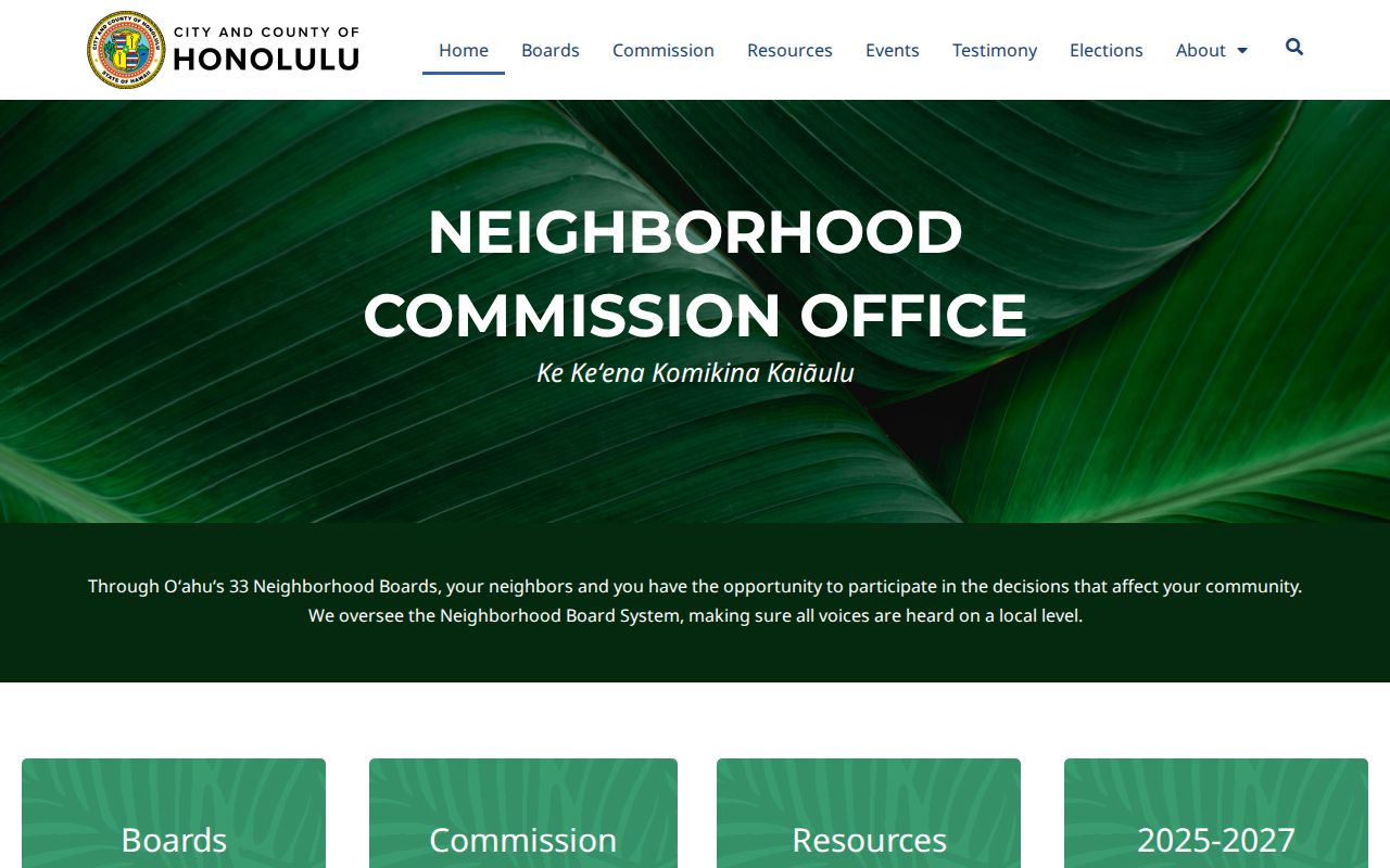
The page leads to board contacts and public meetings, not a list of people in the homes near an address.
Hawaiʻi Community Contacts Are Not Neighbor Rosters
Association and homestead directories locate organizations, not people in nearby homes. Hawaiʻi sources publish different contacts; ask each group about its public meetings or programs.
| Resource | Public Contact Layer | How to Use It | Limit |
|---|---|---|---|
| Oʻahu Neighborhood Boards | Areas, meetings, agendas, minutes, and board contacts | Neighborhood Commission Office pages | Not a neighbor roster |
| CAI Hawaiʻi | Association/professional directory; cited page lists about 100 association members and 525 total members/professionals | Directory linked in the resource panel | Organization contacts, not households |
| DHHL community resources | Voluntary Native Hawaiian organization list | DHHL homestead resources; contact a group | Voluntary, not a DHHL affiliation |
Examples on the DHHL list include Ahupuaʻa ʻO Nānākuli Homestead Association, Anahola Hawaiian Homes Association, Kānehili Community Association, and Panaewa Hawaiian Home Lands Community Association. Ask each group for program details. Congregations and private block-watch groups may publish a contact, but private rosters stay with the organization.
Official Records and Commercial Tools for Hawaiʻi Neighbors
Official Hawaiʻi parcel and civic sources show what a custodian recorded about a defined block. Commercial neighbor tools may combine data into a profile, but do not replace an assessor, BOC, election office, or board contact page. Check the original source before treating a detail as current.
| Source Type | Strength for Block Research | Question to Ask |
|---|---|---|
| County map and assessor | Parcel shape, TMK, and tax fields | Owner data or map geometry? |
| State land and election records | Recorded interests or limited voter fields | Public, current, and tied to this parcel? |
| Civic boards and associations | Contacts, boundaries, and public proceedings | Public contact or private list? |
| Commercial neighbor tools | Multiple sources in one interface | Can the source and date be verified? |
If a profile is stale or wrong, use its correction or privacy process and verify the fact with the office that created it. Recheck later because other sources may publish copies. Approach Hawaiʻi neighbors through accurate public channels, not assumptions from a profile.
Privacy Limits on a Hawaiʻi Neighbor Search
A Hawaiʻi neighbor search cannot identify everyone in nearby homes. Tax records follow an owner or taxpayer; family members and other occupants may not appear. Utility, delivery, and motor-vehicle address details are not neighborhood directories. The state program gives eligible survivors a substitute address and mail forwarding.
Hawaiʻi’s Uniform Information Practices Act presumes access but allows privacy limits. HRS §11-97 narrows voter fields; courts may seal records, and recorded documents have redaction rules. Ask the custodian about a request or correction route instead of filling gaps with unrelated personal data.
Eligible survivors can seek the state’s Address Confidentiality Program. Keep a protected address private if encountered in a public-file trail.
Lawful use. Use Hawaiʻi neighbor records to understand a block or take part in civic life. Do not use a search to watch, harass, threaten, or expose a person using a safety program.