
Hawaiʻi Sources for Previous Residents
Hawaiʻi's deed, property, directory, and archive records preserve different traces of previous residents. This table shows what each can establish and where its year coverage is uncertain.
| Address History Source | Known Years and Limits | Holding Place | Evidence It Adds |
|---|---|---|---|
| Bureau of Conveyances online search | Many records; universal first year not stated; pre-1976 fallback | RecordEASE, counter, written request | Deeds, parties, recording data, legal descriptions, and title transfers. |
| Honolulu property records | Current and historical fields; first year not stated | Honolulu RPAD / qPublic | Owner and tax fields, site address, sales history, and deed document number. |
| Maui field, parcel, and ownership-history books | Through 1987 | Maui Public Documents | Assessment, ownership, and map history indexed most usefully by TMK. |
| Oʻahu directories | 1871–1924 guide; mixed holdings from 1869 to current | Archives, Hawaiʻi State Library, UH Mānoa | Street-to-name, alphabetical, business, and address entries. |
| Island of Hawaiʻi directories | Examples from 1913–1928/29 and 1939–40; gaps remain | Archives, UH, libraries, FamilySearch | Town, street, household, and business evidence. |
| Oʻahu telephone books | 1894–1928 with gaps; publisher runs from 1929–2001 | Honolulu Public Library / HSPLS | Subscriber names and numbers, not every household. |
| Lion, Dakin, and Sanborn fire maps | 1879; 1885, 1891, 1899, 1906; 1914, 1927, 1955 | Archives, Bishop Museum, UH, Library of Congress | Building footprint, materials, use, and lot context at a snapshot date. |
| Federal and local census schedules | Federal 1850–1950; local series include 1866, 1878, 1890 | NARA, State Archives, libraries, genealogy databases | Household members and traits, with island and district coverage varying. |
| Permits and plans | Portal-specific; Maui MAPPS from April 18, 2022, plus older scans | County planning offices and public-document systems | Construction or alteration dates, applicants, parcel keys, and project status. |
| Obituary and probate records | Many newspaper runs; probate packets, 1814–1917 | Archives, libraries, newspapers, courts, FamilySearch | Death notices, relatives, estates, heirs, and possible address links. |
For recent ownership, start with a county property record and carry its deed number or TMK to the Bureau. For an older household, try a directory, phone book, or census. A building map can date a structure, but it cannot name its occupants.
Note: A source's first surviving year and an online search's first year are different facts, so keep them separate in your research notes.
Follow Hawaiʻi Deed Records Backward
When tracing previous residents, start with the present parcel and carry its TMK, or Tax Map Key, into the statewide Bureau of Conveyances (BOC). Honolulu sales history may give a deed number; Maui's assessment and public-document tools also accept a TMK. County formats vary, so copy the displayed key rather than translating it.
| BOC Search Field | Type | Required | Format or Options |
|---|---|---|---|
| Individual or Business Name | Text/name | Optional | Grantor, grantee, or party; test surname variants. |
| Document Number | Text | Optional | Format changes over time; use the exact number when known. |
| TMK / Tax-ID | Text | Optional | Use the county or island TMK; condo records may have unit/CPR identifiers. |
| Legal | Radio/section | Optional | Platted, unplatted, or condominium. |
| Additional Plat Name | Text | Optional | Legal subdivision or plat name. |
| Lot(s) / Block(s) | Text | Optional | Enter the lot and block identifiers. |
| Outlot / Tract / Other | Text | Optional | Other legal-description field. |
| Include None/Empty Block/Lots | Checkbox | Optional | Includes blank legal lot or block fields. |
| Show Tract Card | Button | Optional | Displays tract-card information where available. |
| Land/Num Type | Radio | Optional | Abstract, Torrens, Land Court Order, or All. |
| Result Type | Radio | Optional | Document or certificate. |
| Include Canceled Certs | Checkbox | Optional | Includes canceled certificates. |
| Only Documents that Transfer Title | Checkbox | Optional | Narrows results to title-transfer instruments. |
| Return Count Limit | Dropdown | Optional | BOC guide screenshot shows 250. |
| Search / Clear All | Buttons | Not applicable | Submit a search or reset the fields. |
- Search the county property system by the known address or TMK. Note the owner name, site address, legal description, and any sales-history deed number.
- Open BOC RecordEASE. Search the document number when available, or use a party name, TMK, and legal-description fields.
- Read the deed's grantor and grantee, recording date, book and page, document number, related documents, and parcel or legal identifier.
- Use the prior grantee's deed to identify the seller, then search that seller as a grantee to find the next earlier transfer.
- Repeat until the online result stops, a name or parcel no longer matches, or the record calls for an older access route.
Results may show recording date, document type and number, book/page, TMK or tax ID, parties, related records, and an image or order link. Registration is required; searches are free and image orders are paid. BOC does not state a universal online start year.
Before 1976, use the BOC's written search and copy instructions or its request form. Give known book/page or document number, parties, instrument type, parcel clues, certification choice, contact details, and payment. The published fee is $35 per document plus $10 processing; in-person research is also available at the Kalanimoku Building.
- Grantor / grantee
- The grantor gives or conveys an interest; the grantee receives it. A deed can show both names.
- Chain of title
- The linked sequence of recorded transfers that connects earlier owners to the present title record.
- Legal description
- The parcel's formal land description. It can still identify land after a street name or number changes.
Hawaiʻi Address Records Through Time
A search for previous residents at an address can fail when an old number no longer points to the same door. The Historic Hawaiʻi Foundation guide notes that streets, numbers, and spellings can change. No statewide renumbering chronology was located.
Bridge a mismatch with a street index, lot or legal description, historic map, and TMK. Oʻahu's Zone-Sector-Plat:Parcel key and optional condo/unit suffix can narrow a parcel; other islands use local formats. Postal city is not parcel boundary. Keep both versions of a disputed address and record the map, lot, or deed that connects them.
Note: A change in an address string is a research problem to resolve with parcel evidence, not proof that a separate property or household existed.
Hawaiʻi Fire Records and Home Maps
Hawaiʻi's dated fire-map sequence includes Lion (1879), Dakin (1885, 1891, 1899, 1906), and Sanborn (1914, 1927, 1955). A sheet may show a building footprint, materials, use, and lot context; compare its legend and date with a deed and current parcel boundary. The map can help bracket construction, but it does not name occupants.
Permits, archives, libraries, historical-property files, and interviews can add leads. Check interview details against dated records.
Pair Hawaiʻi Directories with Census Years
A directory may connect a name to a street in one year; a census shows a household at a wider interval and uses boundaries that may differ from today's streets. Pair nearby years to trace a Hawaiʻi address, not to treat one listing as a complete roll.
- Choose a directory year close to the period of interest. On Oʻahu, the guide describes holdings from 1869 to current in mixed formats and a clearer directory run from 1871–1924.
- From 1908 onward, check the directory's street index for the address, then use its alphabetical section for the full name and other printed details. In 1907 or earlier, work backward by a known name because a street index may not help.
- Compare the closest federal census schedule, released through 1950 under the 72-year rule, and check whether a local or territorial series covers the island and district.
- Write down the address exactly as printed, along with name spelling, household notation, page, and census district. Test plain-ASCII spelling when an older index omits ʻokina or kahakō.
- Use a later directory or telephone book to see whether the name or address changes. Do not treat absence from one source as proof that someone left.
State Archives material includes local census records from 1866, 1878, and 1890, with island and district coverage varying. Series descriptions identify available fields; a schedule may use an older boundary or name form.
Collections, reading rooms, and directory holdings are described on the Hawaiʻi city directories page. Here the task is to join a specific address across years, not to assume every directory year exists for every island.
Note: Directory presence and census presence are separate evidence; neither one alone proves an unbroken residence at the same parcel.
Hawaiʻi Obituary Records and Probate
Obituaries and estate files can close a trail after a household moves. The State Archives genealogy guide points to obituary notices from 1836–1950, newspaper indexes, probate, wills, cemeteries, and family records; coverage is incomplete.
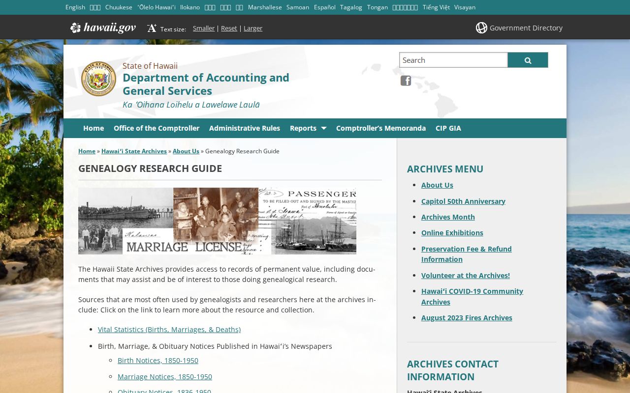
The guide's collection list can point to the next archive or newspaper series to check; verify a name and date in the underlying record before connecting it to a household.
The library newspaper guide lists Oʻahu, Maui, Hawaiʻi Island, and Kauaʻi runs with different start years: examples include the Advertiser (1856), Star-Bulletin (1893), Maui News (1922), Tribune-Herald (1923), and Garden Island (1902). Print, microfilm, indexes, and full text vary by year; compare a notice with archive or court records.
FamilySearch's Hawaiʻi probate packets cover 1814–1917 but may be incomplete. Files can name an executor, heirs, or property. Confirm names and dates against deeds or later newspaper items before connecting them to an address.
Hawaiʻi Archives and Past Resident Records
Established by statute in 1905, the Hawaiʻi State Archives gathered Kingdom, Republic, Territorial, and early state records. Older resident trails can therefore lead to a state archive rather than a county office.
The Polk/Husted directory page links 15 digitized year groups from 1880–1924. The reading room at 364 S. King Street is open weekdays 9–4, with retrieval ending at 3:30; researchers register, show ID, and keep records in the room.
The Archives fee schedule lists $0.25-per-page duplication, certification at $2.25 per record up to 110 pages, and translation at $17 per hour. Note which online or in-person series and years you checked.
Hawaiʻi Property Records on Maui
Maui County's Real Property Assessment Division links tax maps and data extracts; its Public Documents search includes field, parcel, and ownership-history books through 1987. Search by TMK, the site's most complete key, and note that coverage can be incomplete.
The system also holds permits, plans, plats, as-builts, and planning records. MAPPS permit records are identified from April 18, 2022, with older scans available. A permit names an applicant or project, not necessarily a resident. Other islands have different assessor and planning tools, so use the county that holds the parcel.
Lawful personal use. Use previous-resident research for family history, a building's history, or personal curiosity. Public records do not make it appropriate to track, threaten, or harass a living person.